Industrial history
Factories, products, employers, and material flows
Western New York Industrial & Environmental Atlas
Follow the evidence across factories, waterways, waste sites, cleanup projects, and the places Western New Yorkers know today.
Factories, products, employers, and material flows
Documented contaminants, disposal, and waterways
Removal, caps, treatment, monitoring, and restrictions
What occupied each place and what is there today
Starting collection
These first records establish the model for hundreds of sourced places across Erie, Niagara, and neighboring counties.
Chemical disposal, public-health response, containment, and monitoring.
Former dye and chemical-manufacturing complex beside the Buffalo River. Investigations documented metals, volatile and semi-volatile compounds in plant sewer sediment, including storm sewers leading to river Outfalls 006 and 011; remedies included measures to address contaminated sewer sediment and limit migration toward the river.
Industrial corridor where navigational and remedial dredging removed legacy-contaminated sediment alongside habitat restoration and long-term recovery work.
Manhattan Project uranium processing and the regional FUSRAP story.
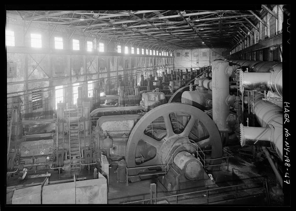
Former Lake Erie steelmaking complex whose western shoreline includes about 440 acres of manmade land created with iron- and steelmaking slag and plant waste. The property also included the HWM-2 on-site landfill, documented as containing about 118,000 cubic yards of coke- and primary-metalmaking wastes; the larger site remains under cleanup, monitoring, and land-use controls.
Federal cleanup and decommissioning project at the former commercial nuclear fuel reprocessing facility.
Former South Buffalo steel and coke complex remediated in phases as the Steelfields and RiverBend properties.
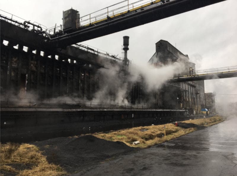
Former coke manufacturing facility documented as a major historical benzene source, where shutdown response, removal work, state cleanup, and redevelopment followed the 2018 closure.
Lake Erie public beach where swimming decisions use a water-quality model and restoration work addresses the adjacent wetland and Blasdell Creek.
River Road landfill areas containing material moved from the former Ashland property, where residues from Linde uranium processing had been stored.
Niagara River park established on a former municipal and industrial landfill, with a documented remedial program and long-term site management.
Former Niagara River landfill containing foundry sand, slag, cinders, and other fill, later remediated with habitat-oriented cover and plantings.
Ongoing regional investigation in which 121 property owners were contacted for access to conduct more detailed testing. Contact or screening does not mean every property contains radioactive fill.
Radioactive slag fill was removed from parking lots and interior areas at the documented 9512–9626 Niagara Falls Boulevard properties.
Radioactive industrial slag fill was removed from playground and parking areas in 2023; EPA reports that the building itself was not contaminated.
Radioactive fill was removed from an access road and portions of two adjacent residential properties between 2020 and 2023.
EPA removed radioactive material from a garage and driveway at one nearby residence and from a driveway and patio at another.
Former zinc and lead smelting and refining area where cleanup removed 136,234 tons of lead-contaminated soil from the site and surrounding properties.
Former Buffalo Color chemical-manufacturing parcel remediated under the Brownfield Cleanup Program and redeveloped in 2019 as the Medaille athletic complex at Buffalo Color Park.
Former River Road refinery property where Linde uranium-processing residues had been stored before Ashland Oil acquired the land; federal cleanup was completed in 2003.
Coal-fired Niagara River power station retired in 2016, with a separately managed industrial fly-ash landfill and a history extending to the River Station era.
Three historical waste-disposal areas at the River Road tire plant were investigated, capped, and placed under long-term groundwater monitoring and site management.
A 107-acre Outer Harbor confined disposal facility constructed in 1977 beside the former Bethlehem Steel property. It receives dredged material from Buffalo Harbor, the Buffalo River, Black Rock Channel, and Tonawanda Harbor, but is distinct from Bethlehem’s HWM-2 industrial landfill and the steel plant’s slag-fill area.
Former municipal and industrial landfill bordering Transit Road where drums and contaminated material were removed, wastes were consolidated beneath engineered caps, and long-term monitoring continues.
A 264-acre former dockland and city-dump landscape transformed through capping and habitat work into an urban nature preserve with trails, wetlands, and environmental education.
Former manufacturing and electroplating property cleaned through the Brownfield Cleanup Program and redeveloped as apartments with commercial space.
Former windshield-wiper manufacturing complex remediated under the Brownfield Cleanup Program and converted primarily to residential apartments with commercial space.
Federal and state investigations of PFAS associated with historical use and releases of aqueous film-forming firefighting foam at the air station.
Ongoing investigation of PFNA detected in the village water system and in environmental media near a former firefighting-training area; replacement supply and treatment measures were implemented.
Brownfield investigation at 90 Erie Street documented PFAS impacts in groundwater alongside contaminants associated with historic fill; remediation planning remains part of the site record.
Former manufactured-gas plant at Dart and Bradley Streets where investigations documented coal tar, benzene and related BTEX compounds, and PAHs in site media.
Former manufactured-gas property where benzene and other coal-gas wastes were documented in soil and groundwater, remediated, and redeveloped with the HealthNow office building.
Former Buffalo Avenue chemical-manufacturing and disposal site where benzene and chlorinated benzenes affected multiple groundwater zones; containment, treatment, and monitoring remain part of the remedy.
Former industrial landfill that received radioactive soil excavated from Ashland 1 in 1974; federal cleanup removed more than 52,000 tons of material.
Town landfill and mudflats vicinity property where radioactive material resembled material at other FUSRAP sites, although no record ties the property to Manhattan Engineer District or Atomic Energy Commission operations.
Former Lake Ontario Ordnance Works property used beginning in 1944 to store Manhattan Engineer District radioactive residues and uranium-processing wastes; active federal remediation continues.
Properties surrounding the federal storage site that have been investigated or remediated individually for material associated with the Niagara Falls Storage Site.
Union Carbide subsidiary that converted Linde uranium tetrafluoride into uranium metal, producing more than one-third of the Manhattan Project’s uranium-metal requirement.
Steel facility where uranium rods were machined and straightened in 1952 for an Atomic Energy Commission contractor; the affected area was remediated under FUSRAP.
Former specialty-steel complex where Atomic Energy Commission work left uranium and thorium impacts in buildings, soil, and groundwater; federal remediation is active.
Former industrial Buffalo River peninsula with compacted fill and a documented waste-oil handling history nearby, where contaminated river sediment was addressed and multiple shoreline and habitat-restoration projects were completed. Sources reviewed do not establish the peninsula as a former municipal landfill.
Large former petroleum refinery, lubricant plant, and terminal at Elk and Babcock Streets, divided into multiple state brownfield cleanup units addressing petroleum-impacted soil, groundwater, infrastructure, and riverfront conditions.
Former phenolic-resin and rubber-products plant at 3445 River Road where a 1988 fire left drums, tanks, laboratory chemicals, and contaminated media requiring federal removal and state remediation.
Sponge-manufacturing property where interim controls addressed carbon-disulfide handling and drainage areas; the closed state site remains subject to controls, inspections, and monitoring.
Long-running chemical and polymer-products facility at 3115 River Road, included in the state’s southwestern Tonawanda groundwater study and subject to wastewater, hazardous-air-pollutant, and emissions controls.
River Road and Sawyer Avenue chemical-manufacturing property included in the southwestern Tonawanda groundwater study; its former state waste-site listing was delisted while regulated operations continued under later owners.
Former manufactured-gas plant at 126 East Niagara Street where coal-tar non-aqueous-phase liquid and contaminated groundwater affected the property and nearby basement sumps; recovery and treatment systems were installed.
Gasworks operated on Transit Street from 1851 to 1927. Investigations documented coal tar and related non-aqueous-phase liquid, leading to excavation, containment, and long-term remediation.
Former manufactured-gas plant built in the 1920s and operated into the 1960s, where purifier residuals and hydrocarbon compounds were investigated and remediated through New York's voluntary cleanup program.
Former gas-holder property near Scajaquada Creek. State investigation documents the historic gasometer and evaluates coal-tar impacts associated with the adjoining former Westwood manufactured-gas plant area.
Former luxury-automobile manufacturing complex around Great Arrow Avenue and Elmwood Avenue. State records identify petroleum impacts, industrial fill, metals, PCBs, solvents, underground tanks, and later hazardous-material storage across separately managed brownfield parcels; investigation at 157 Great Arrow was updated to include PFAS sampling.
Former railroad classification and maintenance yard where a spur was built into an eastern wetland depression to dispose of railyard waste. Investigators later found tar-like material and 56 drums; the waste was contained, capped, and remains under long-term monitoring.
Former Hooker Chemical landfill that received about 80,000 tons of chemical waste, including dioxin-bearing material. The landfill and perimeter are capped, contaminated groundwater is hydraulically contained and treated, and community monitoring wells remain in use.
Former industrial landfill where Occidental/Hooker and Olin deposited at least 159,000 tons of liquid and solid chemical waste. The remedy consolidated waste beneath a lined cap, added a slurry wall and recovery systems, and requires long-term groundwater and NAPL monitoring.
Eight-acre former chemical-waste landfill beside the Niagara Falls drinking-water treatment plant. The remedy includes a final landfill cap, source containment, groundwater collection and treatment, and continuing monitoring.
Former DuPont disposal area containing an estimated 93,000 tons of industrial process waste. A clay cap, groundwater and dense non-aqueous-phase-liquid recovery, treatment systems, and a large monitoring-well network manage contamination in fractured bedrock.
Former landfill that accepted municipal refuse and industrial wastes, including caustic material and sludges, from regional manufacturers and the former air base. The site remains under an approved operation, maintenance, and monitoring program.
Former sanitary landfill that also accepted industrial waste, including sludges, waste ink, chemical drums, and PCB-containing equipment. The landfill was capped under a state-approved closure plan and remains subject to post-closure groundwater monitoring and maintenance.
Former municipal and industrial landfill that accepted solid and chemical wastes from 1969 to 1976. About 3.1 million tons of material remain contained beneath a cap with leachate collection and gas venting; cleanup construction was completed in 2000 and long-term groundwater and surface-water monitoring continues.
Former disposal and industrial property where the remedy consolidated waste and contaminated soil beneath an engineered cover. The completed cleanup is maintained through institutional controls, inspections, and long-term operation and maintenance.
Public waterfront land formed in part from dredged sediment, construction debris, and a former municipal dump that received ash and incinerator residue. Remediation included soil removal, a protective cover, and shoreline stabilization; New York issued a Certificate of Completion in 2012 and the property now supports recreation.
Former confined disposal area used from 1972 to 1976 for contaminated sediment dredged from the Buffalo River federal navigation channel. The 45-acre containment site later became a nature preserve; habitat restoration and invasive-species work continue around the contained dredged material.
Storm-sewer route and Niagara River cove affected by contaminants migrating from the former Durez chemical site. Cleanup included plant containment, cleaning about 22,000 feet of sewers, removal of roughly 25,000 cubic yards of contaminated sewer and cove sediment, wetland restoration, later maintenance dredging, and continuing site controls.
Creek flowing past the DuPont and Olin chemical plants to the Niagara River. Historic plant-related contaminants affected creek sediment and groundwater; joint cleanup removed about 8,020 cubic yards of contaminated sediment by 1992, while groundwater collection, treatment, and monitoring continued to control migration toward the creek and river.
Lake Erie tributary crossing the former Bethlehem Steel property. Historical plant discharges contaminated the lower creek; approximately 40,000 cubic yards of affected sediment were removed in 2009. Current planning focuses on bank stabilization, habitat connectivity, flood resilience, and restoration from the creek corridor to its Lake Erie mouth.
Former on-site disposal area for sewage-sludge incinerator ash at the Southtowns Advanced Wastewater Treatment Facility beside Woodlawn Beach State Park. Erie County’s reclamation project removed, tested, hauled, and disposed of the landfill contents off-site and restored the area; this record does not identify the natural beach or dune system as a landfill.
Former roughly 50-acre limestone quarry later filled with municipal refuse, incinerator ash, construction and demolition debris, appliances, vegetation, and documented Buffalo Forge waste. Portions became McCarthy Park and nearby development, while the remaining quarry serves as a stormwater-retention basin; state investigation supported removing the site from the hazardous-waste registry.
Former stone quarry backfilled during the 1940s and 1950s with material of unknown origin and later developed as the Kensington Heights apartment complex. Investigations found PAHs and metals in soil and fill; excavation, cover, and institutional controls supported completion of the state brownfield cleanup in 2019.
Active federal Superfund site covering roughly 15 miles of Eighteen Mile Creek, from its Lockport source area toward Lake Ontario. Historic industrial operations contaminated soil, groundwater, and creek sediment with PCBs, lead, and other pollutants. Cleanup and investigation are proceeding in stages; source-area work has included building demolition, excavation, capping, and some residential relocations, while fish-consumption advisories remain in effect.
Federal Superfund site where a residential development was built over an inadequately covered chemical-waste dump. EPA permanently relocated residents from 51 mobile homes and two houses, excavated contaminated soil, and consolidated it beneath an engineered cap. Long-term monitoring and land-use controls continue; the record documents the former subdivision and capped disposal area, not the wider neighborhood.
Former federal Superfund site in a Lake Erie residential development where PCB-contaminated waste oil was spread on dirt roads for dust control and later redistributed with excavated road soil into yards. Cleanup treated about 36,160 tons of contaminated soil and sediment and restored affected wetlands. EPA deleted the site from the National Priorities List in 1994 after completing the remedy.
Pesticide plant that manufactured arsenic-based and other products beginning in the 1920s. Historic releases and disposal affected facility soil, sediment, surface water, groundwater, and nearby properties through runoff and air deposition. State-supervised cleanup has included contaminated-soil removal at residential, commercial, and Royalton-Hartland school properties; the multi-year off-site program remained active in 2025.
Former automotive-parts manufacturing complex at 1001 East Delavan Avenue, operated by General Motors and later American Axle. Investigations documented petroleum impacts associated with plant operations and underground tanks, along with possible PCB releases from electrical equipment. The property is divided between state Superfund and Brownfield Cleanup Program areas, with phased investigation, oil recovery, demolition, and remediation.
Large waste-management property used for disposal since 1897 and for hazardous-waste treatment, storage, and disposal beginning in 1977. Investigations found releases to fill, soil, and groundwater from historic waste-management units. Closed units are capped and maintained, contaminated groundwater is recovered and treated, and long-term monitoring and corrective-action controls continue under state and federal hazardous-waste permits.
Former hazardous-waste treatment and storage facility at 4626 Royal Avenue, on property with earlier chlor-alkali manufacturing and sludge-disposal history. VOCs and other contaminants remain concentrated in deep soil and groundwater. Major corrective work is complete, while a pump-and-treat system, groundwater monitoring, an industrial-use restriction, and site-management controls continue.
Built as a public record
WNYAtlas connects industrial history with environmental records, cleanup decisions, ongoing management, and redevelopment. Proximity is context—not proof of causation—and every meaningful claim will lead back to a source.